 vesseltracker.com
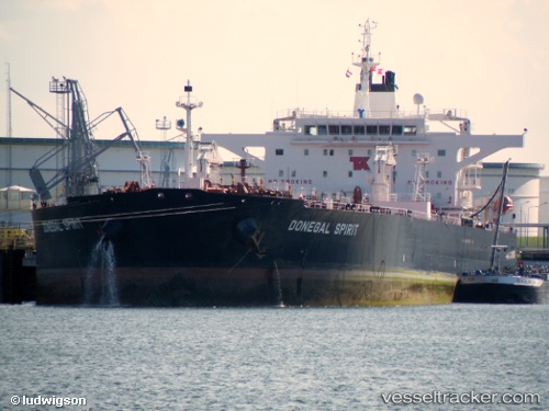
Vessel BOURDA IMO: 9312846, MMSI: 636025005 Oil Products Tanker
UTC, 13.58333, 50.54333, course: -1, speed: 11
UTC, 13.76667, 51.13667, course: -1, speed: 12
2026-02-27 15:52:42 UTC, 13.85333, 51.40833, course: -1, speed: 12
Live AIS position:
UTC. 37 nm SE of Reinhardtsdorf-Schöna),
updated 2026-02-27 15:52:42 UTC.
Find the position of the vessel BOURDA on the map. The latter are known coordinates and path.
marine traffic ship tracker show on live map
The current position of vessel BOURDA is 13.85333 lat / 51.40833 lng. Updated: 2026-02-27 15:52:42 UTCCurrently sailing under the flag of Liberia
Details:
Last coordinates of the vessel:
UTC, 13.49500, 50.26667, course: -1, speed: 11UTC, 13.58333, 50.54333, course: -1, speed: 11
UTC, 13.76667, 51.13667, course: -1, speed: 12
2026-02-27 15:52:42 UTC, 13.85333, 51.40833, course: -1, speed: 12