 vesseltracker.com
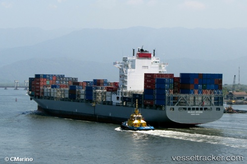
Vessel KOBE C IMO: 9492701, MMSI: 636025149 Container Ship
UTC, 2.20046, 89.41173, course: 238, speed: 15
UTC, 1.92277, 89.02719, course: 238, speed: 15.4
2026-02-26 19:01:12 UTC, 1.79520, 88.84167, course: 240, speed: 15.4
Live AIS position:
UTC. 321 nm SE of Abakaliki),
updated 2026-02-26 19:01:12 UTC.
Find the position of the vessel KOBE C on the map. The latter are known coordinates and path.
marine traffic ship tracker show on live map
The current position of vessel KOBE C is 1.79520 lat / 88.84167 lng. Updated: 2026-02-26 19:01:12 UTCCurrently sailing under the flag of Liberia
Details:
Last coordinates of the vessel:
UTC, 2.51999, 89.88636, course: 240, speed: 15.2UTC, 2.20046, 89.41173, course: 238, speed: 15
UTC, 1.92277, 89.02719, course: 238, speed: 15.4
2026-02-26 19:01:12 UTC, 1.79520, 88.84167, course: 240, speed: 15.4