 vesseltracker.com
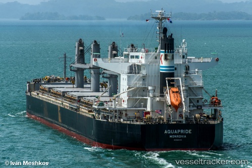
Vessel OCEAN BEGONIA IMO: 9624378, MMSI: 636025266 Bulk Carrier
UTC, -10.46868, 72.44759, course: 50, speed: 11.2
UTC, -10.26833, 72.72333, course: -1, speed: 11
2026-02-26 19:57:37 UTC, -10.02833, 73.07333, course: -1, speed: 11
Live AIS position:
UTC. 167 nm S of Diego Garcia),
updated 2026-02-26 19:57:37 UTC.
Find the position of the vessel OCEAN BEGONIA on the map. The latter are known coordinates and path.
marine traffic ship tracker show on live map
The current position of vessel OCEAN BEGONIA is -10.02833 lat / 73.07333 lng. Updated: 2026-02-26 19:57:37 UTCCurrently sailing under the flag of Liberia
Details:
Last coordinates of the vessel:
UTC, -10.69667, 72.12500, course: -1, speed: 11UTC, -10.46868, 72.44759, course: 50, speed: 11.2
UTC, -10.26833, 72.72333, course: -1, speed: 11
2026-02-26 19:57:37 UTC, -10.02833, 73.07333, course: -1, speed: 11