 vesseltracker.com
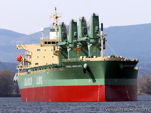
Vessel ST. ANDREW IMO: 9401934, MMSI: 636025343 General Cargo
UTC, 13.18340, -71.95468, course: 232, speed: 14.1
UTC, 12.95167, -72.27167, course: -1, speed: 14
2026-02-25 16:16:49 UTC, 12.53667, -72.83817, course: 230, speed: 14.2
Live AIS position:
UTC. 52 nm NW of Manaure),
updated 2026-02-25 16:16:49 UTC.
Find the position of the vessel ST. ANDREW on the map. The latter are known coordinates and path.
marine traffic ship tracker show on live map
The current position of vessel ST. ANDREW is 12.53667 lat / -72.83817 lng. Updated: 2026-02-25 16:16:49 UTCCurrently sailing under the flag of Liberia
Details:
Last coordinates of the vessel:
UTC, 13.41373, -71.63813, course: 232, speed: 14.1UTC, 13.18340, -71.95468, course: 232, speed: 14.1
UTC, 12.95167, -72.27167, course: -1, speed: 14
2026-02-25 16:16:49 UTC, 12.53667, -72.83817, course: 230, speed: 14.2