 vesseltracker.com
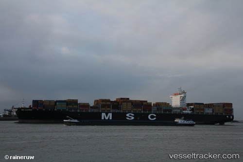
Vessel EMERALD TOWER IMO: 9618288, MMSI: 636025441 Container Ship
UTC, 42.45802, 158.54887, course: 69, speed: 16.3
UTC, 42.60167, 159.07500, course: -1, speed: 16
2026-02-22 16:04:20 UTC, 42.85193, 159.90511, course: 70, speed: 16.3
Live AIS position:
UTC. 229 nm SW of Ljubescica),
updated 2026-02-22 16:04:20 UTC.
Find the position of the vessel EMERALD TOWER on the map. The latter are known coordinates and path.
marine traffic ship tracker show on live map
The current position of vessel EMERALD TOWER is 42.85193 lat / 159.90511 lng. Updated: 2026-02-22 16:04:20 UTCCurrently sailing under the flag of Liberia
Details:
Last coordinates of the vessel:
UTC, 42.16833, 157.58667, course: -1, speed: 17UTC, 42.45802, 158.54887, course: 69, speed: 16.3
UTC, 42.60167, 159.07500, course: -1, speed: 16
2026-02-22 16:04:20 UTC, 42.85193, 159.90511, course: 70, speed: 16.3