 vesseltracker.com
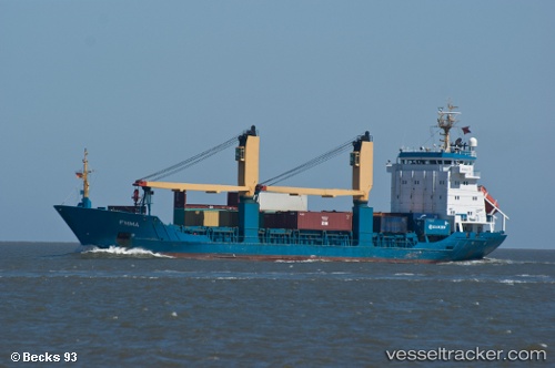
Vessel XIN HAI TONG 501 IMO: 9474371, MMSI: 636025469 General Cargo
UTC, 37.28719, 6.97512, course: 271, speed: 10.2
UTC, 37.29750, 6.33963, course: 265, speed: 11.1
2026-02-28 14:23:23 UTC, 37.26895, 5.87230, course: 263, speed: 10.9
Live AIS position:
UTC. Near Palomares del Rio),
updated 2026-02-28 14:23:23 UTC.
Find the position of the vessel XIN HAI TONG 501 on the map. The latter are known coordinates and path.
marine traffic ship tracker show on live map
The current position of vessel XIN HAI TONG 501 is 37.26895 lat / 5.87230 lng. Updated: 2026-02-28 14:23:23 UTCCurrently sailing under the flag of Liberia
Details:
Last coordinates of the vessel:
UTC, 37.28054, 7.47607, course: 272, speed: 11.2UTC, 37.28719, 6.97512, course: 271, speed: 10.2
UTC, 37.29750, 6.33963, course: 265, speed: 11.1
2026-02-28 14:23:23 UTC, 37.26895, 5.87230, course: 263, speed: 10.9