 vesseltracker.com
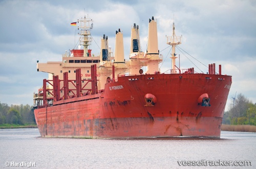
Vessel WEST HARMONY IMO: 9665700, MMSI: 636025526 Bulk Carrier
UTC, 39.70656, -9.87461, course: 2, speed: 11.2
UTC, 40.05514, -9.85090, course: 359, speed: 11.3
2026-02-27 00:04:47 UTC, 40.52851, -9.83401, course: -1, speed: 11.6
Live AIS position:
UTC. 46 nm W of Canas de Santa Maria),
updated 2026-02-27 00:04:47 UTC.
Find the position of the vessel WEST HARMONY on the map. The latter are known coordinates and path.
marine traffic ship tracker show on live map
The current position of vessel WEST HARMONY is 40.52851 lat / -9.83401 lng. Updated: 2026-02-27 00:04:47 UTCCurrently sailing under the flag of Liberia
Details:
Last coordinates of the vessel:
UTC, 39.45876, -9.88276, course: -1, speed: 10.8UTC, 39.70656, -9.87461, course: 2, speed: 11.2
UTC, 40.05514, -9.85090, course: 359, speed: 11.3
2026-02-27 00:04:47 UTC, 40.52851, -9.83401, course: -1, speed: 11.6