 vesseltracker.com
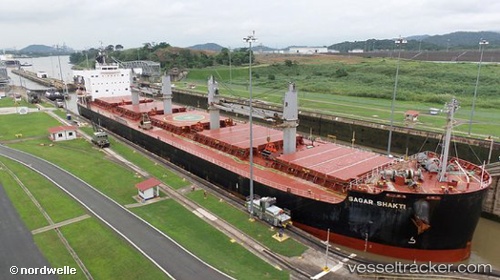
Vessel S BOND IMO: 9583122, MMSI: 636025590 Bulk Carrier
UTC, 3.90667, 6.86833, course: -1, speed: 5
UTC, 3.72392, 6.66150, course: 231, speed: 8.6
2026-03-09 18:15:25 UTC, 3.46667, 6.37333, course: -1, speed: 10
Live Vessel S BOND Analytics (details, animations, etc.)
Live AIS position: UTC. 36 nm S of Brass River), updated 2026-03-09 18:15:25 UTC.Find the position of the vessel S BOND on the map. The latter are known coordinates and path.
marine traffic ship tracker show on live map
The current position of vessel S BOND is 3.46667 lat / 6.37333 lng. Updated: 2026-03-09 18:15:25 UTCCurrently sailing under the flag of Liberia
Details:
Last coordinates of the vessel:
UTC, 4.07333, 6.97167, course: -1, speed: 6UTC, 3.90667, 6.86833, course: -1, speed: 5
UTC, 3.72392, 6.66150, course: 231, speed: 8.6
2026-03-09 18:15:25 UTC, 3.46667, 6.37333, course: -1, speed: 10