 vesseltracker.com
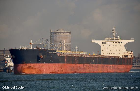
Vessel ANTELAO IMO: 9474967, MMSI: 636025671 Cargo
UTC, -27.16305, -19.48419, course: 288, speed: 12.7
UTC, -26.89085, -20.43293, course: 287, speed: 13.5
2026-02-28 23:21:34 UTC, -26.77420, -20.83062, course: 289, speed: 13.4
Live AIS position:
UTC. 282 nm NE of Sapiranga),
updated 2026-02-28 23:21:34 UTC.
Find the position of the vessel ANTELAO on the map. The latter are known coordinates and path.
marine traffic ship tracker show on live map
The current position of vessel ANTELAO is -26.77420 lat / -20.83062 lng. Updated: 2026-02-28 23:21:34 UTCCurrently sailing under the flag of Liberia
Details:
Last coordinates of the vessel:
UTC, -27.24664, -19.21066, course: 290, speed: 12.9UTC, -27.16305, -19.48419, course: 288, speed: 12.7
UTC, -26.89085, -20.43293, course: 287, speed: 13.5
2026-02-28 23:21:34 UTC, -26.77420, -20.83062, course: 289, speed: 13.4