 vesseltracker.com
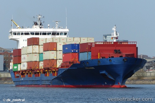
Vessel NETA A. IMO: 9412531, MMSI: 636025672 Container Ship
UTC, 53.53964, 9.91640, course: 270, speed: 0
UTC, 53.50458, 9.93744, course: 357, speed: 0
2026-02-25 15:48:08 UTC, 53.50458, 9.93744, course: 357, speed: 0
Live AIS position:
UTC. Near Altenwerder),
updated 2026-02-25 15:48:08 UTC.
Find the position of the vessel NETA A. on the map. The latter are known coordinates and path.
marine traffic ship tracker show on live map
The current position of vessel NETA A. is 53.50458 lat / 9.93744 lng. Updated: 2026-02-25 15:48:08 UTCCurrently sailing under the flag of Liberia
Details:
Last coordinates of the vessel:
UTC, 53.53963, 9.91640, course: 270, speed: 0UTC, 53.53964, 9.91640, course: 270, speed: 0
UTC, 53.50458, 9.93744, course: 357, speed: 0
2026-02-25 15:48:08 UTC, 53.50458, 9.93744, course: 357, speed: 0