 vesseltracker.com
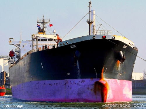
Vessel ILAN IMO: 9282510, MMSI: 636025684 Oil Products Tanker
UTC, 57.06691, 11.97321, course: 160, speed: 13.7
UTC, 56.72631, 12.13035, course: 165, speed: 13.7
2026-02-25 18:31:37 UTC, 56.16074, 12.42180, course: 150, speed: 10.2
Live AIS position:
UTC. Near Dronningmolle),
updated 2026-02-25 18:31:37 UTC.
Find the position of the vessel ILAN on the map. The latter are known coordinates and path.
marine traffic ship tracker show on live map
The current position of vessel ILAN is 56.16074 lat / 12.42180 lng. Updated: 2026-02-25 18:31:37 UTCCurrently sailing under the flag of Liberia
Details:
Last coordinates of the vessel:
UTC, 57.48220, 11.42103, course: 135, speed: 13.4UTC, 57.06691, 11.97321, course: 160, speed: 13.7
UTC, 56.72631, 12.13035, course: 165, speed: 13.7
2026-02-25 18:31:37 UTC, 56.16074, 12.42180, course: 150, speed: 10.2