 vesseltracker.com
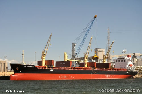
Vessel NANAMI HOPE IMO: 9609299, MMSI: 636025770 Bulk Carrier
UTC, 30.98790, -14.90947, course: 21, speed: 11.3
UTC, 31.25987, -14.79605, course: -1, speed: 11.3
2026-03-02 04:10:18 UTC, 31.71231, -14.60703, course: 17, speed: 11.7
Live AIS position:
UTC. 119 nm SE of Porto Santo Island),
updated 2026-03-02 04:10:18 UTC.
Find the position of the vessel NANAMI HOPE on the map. The latter are known coordinates and path.
marine traffic ship tracker show on live map
The current position of vessel NANAMI HOPE is 31.71231 lat / -14.60703 lng. Updated: 2026-03-02 04:10:18 UTCCurrently sailing under the flag of Liberia
Details:
Last coordinates of the vessel:
UTC, 30.54555, -15.09063, course: 22, speed: 11.1UTC, 30.98790, -14.90947, course: 21, speed: 11.3
UTC, 31.25987, -14.79605, course: -1, speed: 11.3
2026-03-02 04:10:18 UTC, 31.71231, -14.60703, course: 17, speed: 11.7