 vesseltracker.com
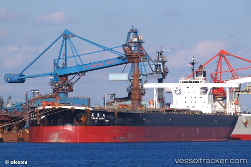
Vessel OWARI MARU IMO: 9335850, MMSI: 636025880 Ore Carrier
UTC, -33.28921, 16.19289, course: 142, speed: 8.7
UTC, -33.64825, 16.52128, course: 147, speed: 9.2
2026-02-27 21:32:18 UTC, -33.77435, 16.63771, course: 161, speed: 9.1
Live AIS position:
UTC. 74 nm SW of Saldanha Bay),
updated 2026-02-27 21:32:18 UTC.
Find the position of the vessel OWARI MARU on the map. The latter are known coordinates and path.
marine traffic ship tracker show on live map
The current position of vessel OWARI MARU is -33.77435 lat / 16.63771 lng. Updated: 2026-02-27 21:32:18 UTCCurrently sailing under the flag of Liberia
Details:
Last coordinates of the vessel:
UTC, -33.14738, 16.06314, course: 143, speed: 8.8UTC, -33.28921, 16.19289, course: 142, speed: 8.7
UTC, -33.64825, 16.52128, course: 147, speed: 9.2
2026-02-27 21:32:18 UTC, -33.77435, 16.63771, course: 161, speed: 9.1