 vesseltracker.com
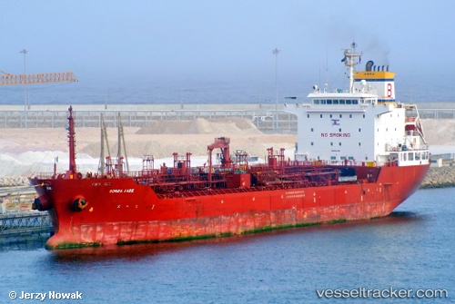
Vessel TIMA ANTONIA IMO: 9473925, MMSI: 636026010 Oil/Chemical Tanker
UTC, 32.70642, -13.61067, course: -1, speed: 7.1
UTC, 32.48567, -13.68652, course: 198, speed: 7.4
2026-02-27 15:56:07 UTC, 32.02077, -13.81333, course: 186, speed: 13.2
Live AIS position:
UTC. 142 nm SE of Porto Santo Island),
updated 2026-02-27 15:56:07 UTC.
Find the position of the vessel TIMA ANTONIA on the map. The latter are known coordinates and path.
marine traffic ship tracker show on live map
The current position of vessel TIMA ANTONIA is 32.02077 lat / -13.81333 lng. Updated: 2026-02-27 15:56:07 UTCCurrently sailing under the flag of Liberia
Details:
Last coordinates of the vessel:
UTC, 32.81113, -13.57190, course: -1, speed: 7UTC, 32.70642, -13.61067, course: -1, speed: 7.1
UTC, 32.48567, -13.68652, course: 198, speed: 7.4
2026-02-27 15:56:07 UTC, 32.02077, -13.81333, course: 186, speed: 13.2