 vesseltracker.com
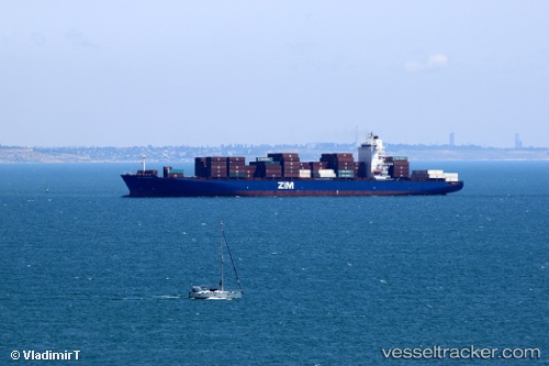
Vessel Merkur Archipelago IMO: 9456977, MMSI: 636091883 Container Ship
UTC, 1.34442, 103.55180, course: 338, speed: 0
UTC, 1.34438, 103.55163, course: 338, speed: 0
2026-02-04 21:33:58 UTC, 1.25302, 103.38883, course: 284, speed: 12.8
Live AIS position:
UTC. 11 nm SW of TANJUNG PELEPAS),
updated 2026-02-04 21:33:58 UTC.
Find the position of the vessel Merkur Archipelago on the map. The latter are known coordinates and path.
marine traffic ship tracker show on live map
The current position of vessel Merkur Archipelago is 1.25302 lat / 103.38883 lng. Updated: 2026-02-04 21:33:58 UTCCurrently sailing under the flag of Liberia
Merkur Archipelago built in 2009 year
Deadweight:
51534 tDetails:
Last coordinates of the vessel:
UTC, 1.34448, 103.55157, course: 338, speed: 0UTC, 1.34442, 103.55180, course: 338, speed: 0
UTC, 1.34438, 103.55163, course: 338, speed: 0
2026-02-04 21:33:58 UTC, 1.25302, 103.38883, course: 284, speed: 12.8