 vesseltracker.com
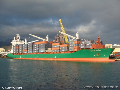
Vessel As Paola IMO: 9312418, MMSI: 636092860 Container Ship
UTC, 80.41067, 8.61398, course: -1, speed: 0
2026-02-03 17:03:31 UTC, 80.41067, 8.61398, course: -1, speed: 0
Live AIS position:
UTC. 96 nm N of Ny-Ålesund),
updated 2026-02-03 17:03:31 UTC.
Find the position of the vessel As Paola on the map. The latter are known coordinates and path.
marine traffic ship tracker show on live map
The current position of vessel As Paola is 80.41067 lat / 8.61398 lng. Updated: 2026-02-03 17:03:31 UTCCurrently sailing under the flag of Liberia
As Paola built in 2005 year
Deadweight:
33900 tDetails:
Last coordinates of the vessel:
UTC, 80.41067, 8.61398, course: -1, speed: 0UTC, 80.41067, 8.61398, course: -1, speed: 0
2026-02-03 17:03:31 UTC, 80.41067, 8.61398, course: -1, speed: 0