 vesseltracker.com
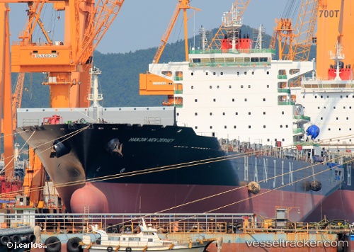
Vessel LYME BAY IMO: 9631113, MMSI: 636093114 Container Ship
UTC, 1.26131, 103.56688, course: 35, speed: 0
UTC, 1.26199, 103.56628, course: 62, speed: 0
2026-01-29 15:35:16 UTC, 1.26221, 103.56628, course: 67, speed: 0
Live AIS position:
UTC. Near TANJUNG PELEPAS),
updated 2026-01-29 15:35:16 UTC.
Find the position of the vessel LYME BAY on the map. The latter are known coordinates and path.
marine traffic ship tracker show on live map
The current position of vessel LYME BAY is 1.26221 lat / 103.56628 lng. Updated: 2026-01-29 15:35:16 UTCCurrently sailing under the flag of Liberia
LYME BAY built in 2013 year
Deadweight:
52040 tDetails:
Last coordinates of the vessel:
UTC, 1.23509, 103.53720, course: 37, speed: 3.4UTC, 1.26131, 103.56688, course: 35, speed: 0
UTC, 1.26199, 103.56628, course: 62, speed: 0
2026-01-29 15:35:16 UTC, 1.26221, 103.56628, course: 67, speed: 0