 vesseltracker.com
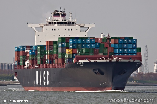
Vessel AL SAFAT IMO: 9349497, MMSI: 636093160 Container Ship
UTC, 40.00427, -35.45376, course: 82, speed: 19.5
UTC, 40.09791, -34.50964, course: 86, speed: 19.6
2026-02-25 18:21:55 UTC, 40.19658, -33.32149, course: 83, speed: 19.5
Live AIS position:
UTC. 14 nm S of San Fernando de Henares),
updated 2026-02-25 18:21:55 UTC.
Find the position of the vessel AL SAFAT on the map. The latter are known coordinates and path.
marine traffic ship tracker show on live map
The current position of vessel AL SAFAT is 40.19658 lat / -33.32149 lng. Updated: 2026-02-25 18:21:55 UTCCurrently sailing under the flag of Liberia
Details:
Last coordinates of the vessel:
UTC, 39.93997, -36.06997, course: 83, speed: 19.4UTC, 40.00427, -35.45376, course: 82, speed: 19.5
UTC, 40.09791, -34.50964, course: 86, speed: 19.6
2026-02-25 18:21:55 UTC, 40.19658, -33.32149, course: 83, speed: 19.5