 vesseltracker.com
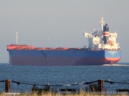
Vessel TIMORSUN IMO: 9728174, MMSI: 636093173 Cargo
UTC, -15.36708, 96.83890, course: 320, speed: 12
UTC, -15.00929, 96.48291, course: 320, speed: 12.3
2026-03-02 13:28:41 UTC, -14.84117, 96.31644, course: 320, speed: 12.1
Live AIS position:
UTC. 168 nm S of Port Refuge),
updated 2026-03-02 13:28:41 UTC.
Find the position of the vessel TIMORSUN on the map. The latter are known coordinates and path.
marine traffic ship tracker show on live map
The current position of vessel TIMORSUN is -14.84117 lat / 96.31644 lng. Updated: 2026-03-02 13:28:41 UTCCurrently sailing under the flag of Liberia
Details:
Last coordinates of the vessel:
UTC, -15.62778, 97.09164, course: 319, speed: 12.8UTC, -15.36708, 96.83890, course: 320, speed: 12
UTC, -15.00929, 96.48291, course: 320, speed: 12.3
2026-03-02 13:28:41 UTC, -14.84117, 96.31644, course: 320, speed: 12.1