 vesseltracker.com
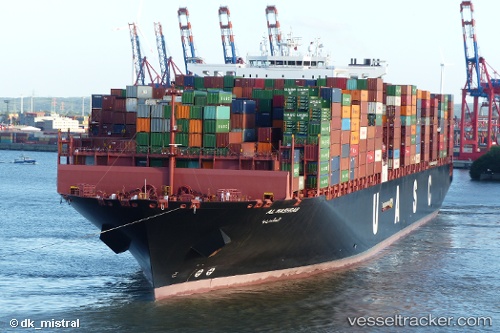
Vessel AL MASHRAB IMO: 9732319, MMSI: 636093181 Cargo A
UTC, 3.44836, 91.11338, course: 235, speed: 17.9
UTC, 3.04500, 90.52833, course: -1, speed: 17
2026-03-02 00:20:11 UTC, 2.68490, 90.02715, course: -1, speed: 17.5
Live AIS position:
UTC. 326 nm SE of Abakaliki),
updated 2026-03-02 00:20:11 UTC.
Find the position of the vessel AL MASHRAB on the map. The latter are known coordinates and path.
marine traffic ship tracker show on live map
The current position of vessel AL MASHRAB is 2.68490 lat / 90.02715 lng. Updated: 2026-03-02 00:20:11 UTCCurrently sailing under the flag of Liberia
Details:
Last coordinates of the vessel:
UTC, 3.91163, 91.79844, course: 234, speed: 17.6UTC, 3.44836, 91.11338, course: 235, speed: 17.9
UTC, 3.04500, 90.52833, course: -1, speed: 17
2026-03-02 00:20:11 UTC, 2.68490, 90.02715, course: -1, speed: 17.5