 vesseltracker.com
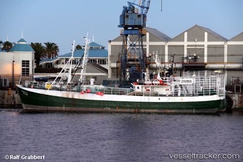
Vessel Portia 1 IMO: 6416536, MMSI: 601705000 Fishing Vessel
UTC, -34.14318, 24.96234, course: -1, speed: 0.3
UTC, -34.22375, 24.92112, course: -1, speed: 7.3
2026-01-19 23:43:08 UTC, -34.31945, 24.76834, course: -1, speed: 7.9
Live AIS position:
UTC. Near Cape St. Francis),
updated 2026-01-19 23:43:08 UTC.
Find the position of the vessel Portia 1 on the map. The latter are known coordinates and path.
marine traffic ship tracker show on live map
The current position of vessel Portia 1 is -34.31945 lat / 24.76834 lng. Updated: 2026-01-19 23:43:08 UTCDetails:
Last coordinates of the vessel:
UTC, -34.08442, 24.99099, course: -1, speed: 6UTC, -34.14318, 24.96234, course: -1, speed: 0.3
UTC, -34.22375, 24.92112, course: -1, speed: 7.3
2026-01-19 23:43:08 UTC, -34.31945, 24.76834, course: -1, speed: 7.9