 vesseltracker.com
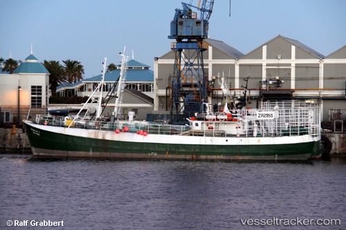
Vessel Portia 1 IMO: 6416536, MMSI: 601705000 Fishing Vessel
UTC, -33.96509, 25.64062, course: -1, speed: 0
UTC, -33.96508, 25.64062, course: -1, speed: 0.1
2026-02-01 01:40:57 UTC, -34.00842, 25.74145, course: -1, speed: 10.5
Live AIS position:
UTC. Near Port Elizabeth),
updated 2026-02-01 01:40:57 UTC.
Find the position of the vessel Portia 1 on the map. The latter are known coordinates and path.
marine traffic ship tracker show on live map
The current position of vessel Portia 1 is -34.00842 lat / 25.74145 lng. Updated: 2026-02-01 01:40:57 UTCDetails:
Last coordinates of the vessel:
UTC, -33.96509, 25.64065, course: -1, speed: 0UTC, -33.96509, 25.64062, course: -1, speed: 0
UTC, -33.96508, 25.64062, course: -1, speed: 0.1
2026-02-01 01:40:57 UTC, -34.00842, 25.74145, course: -1, speed: 10.5