 vesseltracker.com
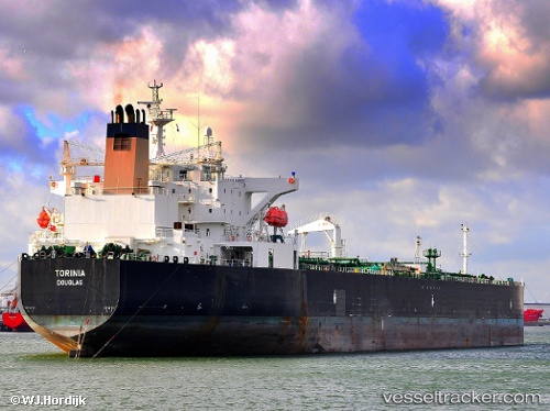
Vessel SIRIUS1 IMO: 9285847, MMSI: 649136000 Oil Products Tanker
UTC, -28.36812, 11.71943, course: 146, speed: 11.9
UTC, -28.64639, 11.93920, course: 146, speed: 11.3
2026-02-26 06:25:35 UTC, -29.02855, 12.26538, course: 138, speed: 10.7
Live AIS position:
UTC. 210 nm SW of Luderitz Bay),
updated 2026-02-26 06:25:35 UTC.
Find the position of the vessel SIRIUS1 on the map. The latter are known coordinates and path.
marine traffic ship tracker show on live map
The current position of vessel SIRIUS1 is -29.02855 lat / 12.26538 lng. Updated: 2026-02-26 06:25:35 UTCCurrently sailing under the flag of Mali
Details:
Last coordinates of the vessel:
UTC, -28.08427, 11.46602, course: 139, speed: 12.2UTC, -28.36812, 11.71943, course: 146, speed: 11.9
UTC, -28.64639, 11.93920, course: 146, speed: 11.3
2026-02-26 06:25:35 UTC, -29.02855, 12.26538, course: 138, speed: 10.7