 vesseltracker.com
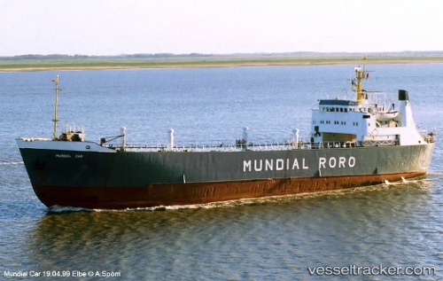
Vessel Karim Allah IMO: 6519144, MMSI: 450241000 Livestock Carrier
UTC, 39.96429, 0.27418, course: -1, speed: 1.6
UTC, 39.98711, 0.31809, course: -1, speed: 1.5
2026-01-28 03:48:57 UTC, 40.01514, 0.36536, course: -1, speed: 1.5
Live AIS position:
UTC. 11 nm E of OROPESA DEL MAR),
updated 2026-01-28 03:48:57 UTC.
Find the position of the vessel Karim Allah on the map. The latter are known coordinates and path.
marine traffic ship tracker show on live map
The current position of vessel Karim Allah is 40.01514 lat / 0.36536 lng. Updated: 2026-01-28 03:48:57 UTCCurrently sailing under the flag of Lebanon
Karim Allah built in 1965 year
Deadweight:
1722 tDetails:
Last coordinates of the vessel:
UTC, 39.92554, 0.21828, course: -1, speed: 1.6UTC, 39.96429, 0.27418, course: -1, speed: 1.6
UTC, 39.98711, 0.31809, course: -1, speed: 1.5
2026-01-28 03:48:57 UTC, 40.01514, 0.36536, course: -1, speed: 1.5