 vesseltracker.com
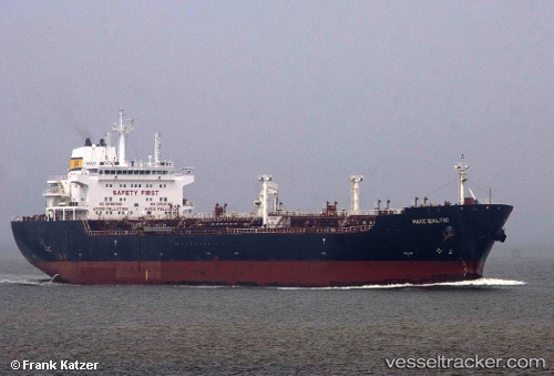
Vessel RAGNAR IMO: 9384095, MMSI: 667001303 Oil/Chemical Tanker
UTC, 4.45833, -27.19167, course: -1, speed: 12
UTC, 3.93987, -27.44648, course: 209, speed: 12.3
2026-02-25 18:15:09 UTC, 3.58833, -27.62833, course: -1, speed: 12
Live AIS position:
UTC. Open sea (no nearby ports in database)),
updated 2026-02-25 18:15:09 UTC.
Find the position of the vessel RAGNAR on the map. The latter are known coordinates and path.
marine traffic ship tracker show on live map
The current position of vessel RAGNAR is 3.58833 lat / -27.62833 lng. Updated: 2026-02-25 18:15:09 UTCCurrently sailing under the flag of Sierra Leone
Details:
Last coordinates of the vessel:
UTC, 4.85833, -27.01833, course: -1, speed: 12UTC, 4.45833, -27.19167, course: -1, speed: 12
UTC, 3.93987, -27.44648, course: 209, speed: 12.3
2026-02-25 18:15:09 UTC, 3.58833, -27.62833, course: -1, speed: 12