 vesseltracker.com
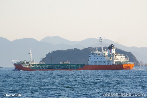
Vessel Sun Fat IMO: 9136979, MMSI: 667001581 Crude Oil Tanker
UTC, 13.90967, 118.54425, course: -1, speed: 1.6
UTC, 13.91080, 118.55164, course: -1, speed: 6.6
2026-01-28 08:12:32 UTC, 13.91080, 118.55164, course: -1, speed: 6.6
Live AIS position:
UTC. 107 nm SW of Subic Bay),
updated 2026-01-28 08:12:32 UTC.
Find the position of the vessel Sun Fat on the map. The latter are known coordinates and path.
marine traffic ship tracker show on live map
The current position of vessel Sun Fat is 13.91080 lat / 118.55164 lng. Updated: 2026-01-28 08:12:32 UTCDetails:
Last coordinates of the vessel:
UTC, 14.16911, 118.63961, course: -1, speed: 7.1UTC, 13.90967, 118.54425, course: -1, speed: 1.6
UTC, 13.91080, 118.55164, course: -1, speed: 6.6
2026-01-28 08:12:32 UTC, 13.91080, 118.55164, course: -1, speed: 6.6