 vesseltracker.com
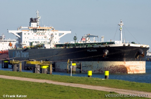
Vessel RANGE VALE IMO: 9299898, MMSI: 667002277 Crude Oil Tanker
UTC, 12.89952, 43.18788, course: -1, speed: 11.3
UTC, 12.89952, 43.18788, course: -1, speed: 11.3
2026-02-24 22:01:11 UTC, 12.89952, 43.18788, course: -1, speed: 11.3
Live AIS position:
UTC. 20 nm NW of Perim Island),
updated 2026-02-24 22:01:11 UTC.
Find the position of the vessel RANGE VALE on the map. The latter are known coordinates and path.
marine traffic ship tracker show on live map
The current position of vessel RANGE VALE is 12.89952 lat / 43.18788 lng. Updated: 2026-02-24 22:01:11 UTCCurrently sailing under the flag of Sierra Leone
Details:
Last coordinates of the vessel:
UTC, 12.93583, 43.17015, course: -1, speed: 11.8UTC, 12.89952, 43.18788, course: -1, speed: 11.3
UTC, 12.89952, 43.18788, course: -1, speed: 11.3
2026-02-24 22:01:11 UTC, 12.89952, 43.18788, course: -1, speed: 11.3