 vesseltracker.com
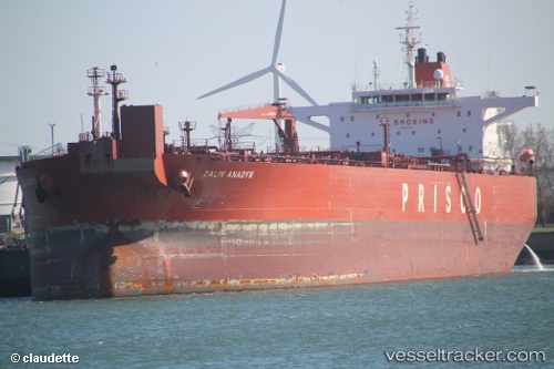
Vessel CETUS IMO: 9418482, MMSI: 667002291 Crude Oil Tanker
UTC, 37.20182, 11.75515, course: 299, speed: 13.8
UTC, 37.46951, 11.15858, course: -1, speed: 13.8
2026-02-27 17:31:13 UTC, 37.61234, 10.84552, course: 302, speed: 13.6
Live AIS position:
UTC. 47 nm N of Qulaybiyah),
updated 2026-02-27 17:31:13 UTC.
Find the position of the vessel CETUS on the map. The latter are known coordinates and path.
marine traffic ship tracker show on live map
The current position of vessel CETUS is 37.61234 lat / 10.84552 lng. Updated: 2026-02-27 17:31:13 UTCCurrently sailing under the flag of Sierra Leone
Details:
Last coordinates of the vessel:
UTC, 37.01776, 12.11412, course: 304, speed: 13.9UTC, 37.20182, 11.75515, course: 299, speed: 13.8
UTC, 37.46951, 11.15858, course: -1, speed: 13.8
2026-02-27 17:31:13 UTC, 37.61234, 10.84552, course: 302, speed: 13.6