 vesseltracker.com
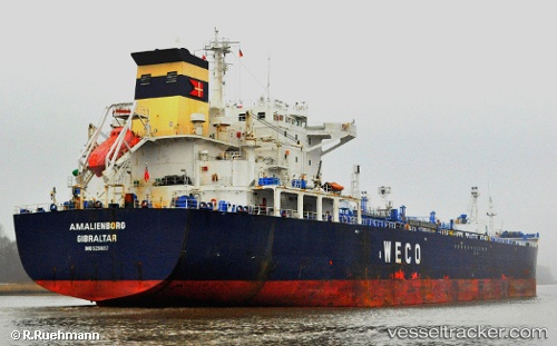
Vessel C VIKING IMO: 9261657, MMSI: 667002414 Oil/Chemical Tanker
UTC, 10.17249, -28.12194, course: 196, speed: 11.9
UTC, 9.85865, -28.20786, course: 195, speed: 11.7
2026-02-27 01:36:32 UTC, 9.43994, -28.31516, course: 195, speed: 11.7
Live AIS position:
UTC. 396 nm SW of Sao Filipe),
updated 2026-02-27 01:36:32 UTC.
Find the position of the vessel C VIKING on the map. The latter are known coordinates and path.
marine traffic ship tracker show on live map
The current position of vessel C VIKING is 9.43994 lat / -28.31516 lng. Updated: 2026-02-27 01:36:32 UTCCurrently sailing under the flag of Sierra Leone
Details:
Last coordinates of the vessel:
UTC, 10.54216, -28.03638, course: 208, speed: 12UTC, 10.17249, -28.12194, course: 196, speed: 11.9
UTC, 9.85865, -28.20786, course: 195, speed: 11.7
2026-02-27 01:36:32 UTC, 9.43994, -28.31516, course: 195, speed: 11.7