 vesseltracker.com
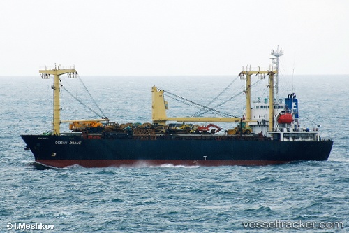
Vessel AMBER M IMO: 9015797, MMSI: 668116204 General Cargo
UTC, 19.39032, 37.36834, course: -1, speed: 9.7
UTC, 19.39032, 37.36834, course: -1, speed: 9.7
2026-02-27 20:54:51 UTC, 19.39032, 37.36834, course: -1, speed: 9.7
Live AIS position:
UTC. Near Marsa Bashayer),
updated 2026-02-27 20:54:51 UTC.
Find the position of the vessel AMBER M on the map. The latter are known coordinates and path.
marine traffic ship tracker show on live map
The current position of vessel AMBER M is 19.39032 lat / 37.36834 lng. Updated: 2026-02-27 20:54:51 UTCCurrently sailing under the flag of Sao Tome and Principe
Details:
Last coordinates of the vessel:
UTC, 19.51501, 37.36834, course: -1, speed: 9.7UTC, 19.39032, 37.36834, course: -1, speed: 9.7
UTC, 19.39032, 37.36834, course: -1, speed: 9.7
2026-02-27 20:54:51 UTC, 19.39032, 37.36834, course: -1, speed: 9.7