 vesseltracker.com
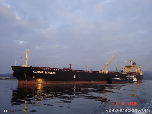
Vessel BLUE EMBER IMO: 9273442, MMSI: 668116394 Tanker
UTC, 34.61537, 28.81255, course: 315, speed: 11.1
UTC, 35.05348, 28.35258, course: 315, speed: 10.5
2026-02-25 14:25:57 UTC, 35.05348, 28.35258, course: 315, speed: 10.5
Live AIS position:
UTC. 61 nm SE of Kattavía),
updated 2026-02-25 14:25:57 UTC.
Find the position of the vessel BLUE EMBER on the map. The latter are known coordinates and path.
marine traffic ship tracker show on live map
The current position of vessel BLUE EMBER is 35.05348 lat / 28.35258 lng. Updated: 2026-02-25 14:25:57 UTCCurrently sailing under the flag of Sao Tome and Principe
Details:
Last coordinates of the vessel:
UTC, 34.30578, 29.13202, course: 316, speed: 11.1UTC, 34.61537, 28.81255, course: 315, speed: 11.1
UTC, 35.05348, 28.35258, course: 315, speed: 10.5
2026-02-25 14:25:57 UTC, 35.05348, 28.35258, course: 315, speed: 10.5