 vesseltracker.com
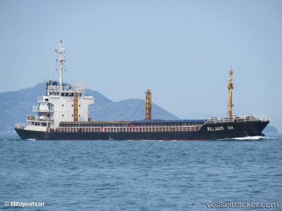
Vessel MILITSA IMO: 9003770, MMSI: 671558100 Cargo
UTC, 37.96000, 23.57557, course: 186, speed: 0
UTC, 37.95999, 23.57558, course: 187, speed: 0
2026-02-28 21:27:23 UTC, 37.96000, 23.57559, course: 188, speed: 0
Live AIS position:
UTC. Near PERAMA),
updated 2026-02-28 21:27:23 UTC.
Find the position of the vessel MILITSA on the map. The latter are known coordinates and path.
marine traffic ship tracker show on live map
The current position of vessel MILITSA is 37.96000 lat / 23.57559 lng. Updated: 2026-02-28 21:27:23 UTCCurrently sailing under the flag of Togo
Details:
Last coordinates of the vessel:
UTC, 37.95999, 23.57559, course: 186, speed: 0UTC, 37.96000, 23.57557, course: 186, speed: 0
UTC, 37.95999, 23.57558, course: 187, speed: 0
2026-02-28 21:27:23 UTC, 37.96000, 23.57559, course: 188, speed: 0