 vesseltracker.com
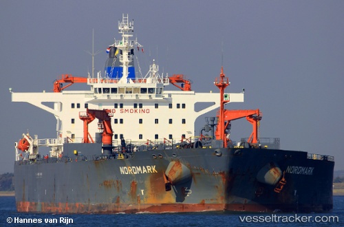
Vessel ALISA IMO: 9147447, MMSI: 677015100 Crude Oil Tanker
UTC, -45.41075, -60.60010, course: -1, speed: 2.6
UTC, -45.36188, -60.59803, course: -1, speed: 4.5
2026-02-26 10:27:25 UTC, -45.19650, -60.45769, course: -1, speed: 4.8
Live AIS position:
UTC. 230 nm SE of Rawson),
updated 2026-02-26 10:27:25 UTC.
Find the position of the vessel ALISA on the map. The latter are known coordinates and path.
marine traffic ship tracker show on live map
The current position of vessel ALISA is -45.19650 lat / -60.45769 lng. Updated: 2026-02-26 10:27:25 UTCCurrently sailing under the flag of Tanzania
ALISA built in 1998 year
Deadweight:
105336 tDetails:
Last coordinates of the vessel:
UTC, -45.36526, -60.45416, course: -1, speed: 3.1UTC, -45.41075, -60.60010, course: -1, speed: 2.6
UTC, -45.36188, -60.59803, course: -1, speed: 4.5
2026-02-26 10:27:25 UTC, -45.19650, -60.45769, course: -1, speed: 4.8