 vesseltracker.com
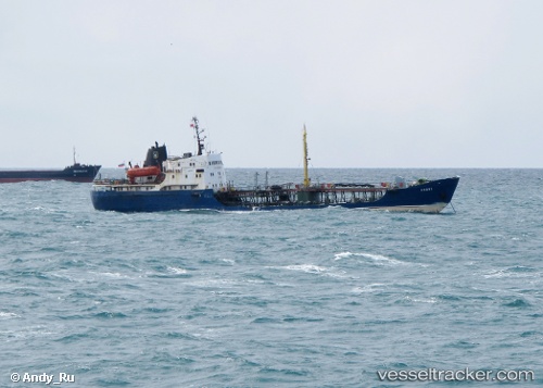
Vessel VIK IMO: 6915738, MMSI: 677022700 Tanker
UTC, 9.86943, -14.16137, course: -1, speed: 7.5
UTC, 10.11261, -14.07294, course: -1, speed: 6.3
2026-02-26 18:24:02 UTC, 10.15131, -14.04179, course: -1, speed: 0
Live AIS position:
UTC. 43 nm NW of Conakry),
updated 2026-02-26 18:24:02 UTC.
Find the position of the vessel VIK on the map. The latter are known coordinates and path.
marine traffic ship tracker show on live map
The current position of vessel VIK is 10.15131 lat / -14.04179 lng. Updated: 2026-02-26 18:24:02 UTCCurrently sailing under the flag of Tanzania
Details:
Last coordinates of the vessel:
UTC, 9.73495, -14.22340, course: -1, speed: 0.2UTC, 9.86943, -14.16137, course: -1, speed: 7.5
UTC, 10.11261, -14.07294, course: -1, speed: 6.3
2026-02-26 18:24:02 UTC, 10.15131, -14.04179, course: -1, speed: 0