 vesseltracker.com
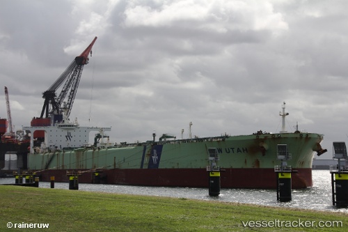
Vessel KITAKAZE IMO: 9221918, MMSI: 677027500 Crude Oil Tanker
UTC, -45.00216, -60.18216, course: -1, speed: 3.4
UTC, -45.11262, -60.30465, course: -1, speed: 4.5
2026-02-26 14:29:55 UTC, -45.14849, -60.36357, course: -1, speed: 5.9
Live AIS position:
UTC. 232 nm SE of Rawson),
updated 2026-02-26 14:29:55 UTC.
Find the position of the vessel KITAKAZE on the map. The latter are known coordinates and path.
marine traffic ship tracker show on live map
The current position of vessel KITAKAZE is -45.14849 lat / -60.36357 lng. Updated: 2026-02-26 14:29:55 UTCCurrently sailing under the flag of Tanzania
Details:
Last coordinates of the vessel:
UTC, -45.08144, -60.29733, course: -1, speed: 3UTC, -45.00216, -60.18216, course: -1, speed: 3.4
UTC, -45.11262, -60.30465, course: -1, speed: 4.5
2026-02-26 14:29:55 UTC, -45.14849, -60.36357, course: -1, speed: 5.9