 vesseltracker.com
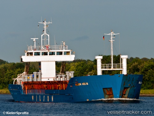
Vessel FORESTER IMO: 9003524, MMSI: 677040600 General Cargo
UTC, 40.84745, 29.28745, course: 252, speed: 0
UTC, 40.84748, 29.28745, course: 252, speed: 0
2026-02-23 17:47:00 UTC, 40.84750, 29.28745, course: 252, speed: 0
Live AIS position:
UTC. Near TUZLA),
updated 2026-02-23 17:47:00 UTC.
Find the position of the vessel FORESTER on the map. The latter are known coordinates and path.
marine traffic ship tracker show on live map
The current position of vessel FORESTER is 40.84750 lat / 29.28745 lng. Updated: 2026-02-23 17:47:00 UTCCurrently sailing under the flag of Tanzania
Details:
Last coordinates of the vessel:
UTC, 40.84750, 29.28748, course: 252, speed: 0UTC, 40.84745, 29.28745, course: 252, speed: 0
UTC, 40.84748, 29.28745, course: 252, speed: 0
2026-02-23 17:47:00 UTC, 40.84750, 29.28745, course: 252, speed: 0