.
vessel Captain Hamada IMO: 8602361, General Cargo Ship
vesseltracker.com
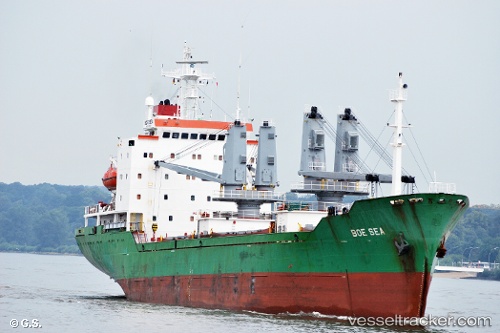
Vessel Captain Hamada IMO: 8602361, MMSI: 677056600 General Cargo Ship

callsign: 5IM666
size: 18x119

Live AIS position: UTC. 77 nm N of Atauro), updated 2024-04-27 12:14:28 UTC.

Find the position of the vessel Captain Hamada on the map. The latter are known coordinates and path.

marine traffic ship tracker show on live map

The current position of vessel Captain Hamada is -7.04500 lat / 126.01167 lng. Updated: 2024-04-27 12:14:28 UTC
Details:


Last coordinates of the vessel:
2024-04-27 12:14:28 UTC, -7.04500, 126.01167, course: -1, speed: 5


Most frequent ports a vessels calls at Captain Hamada (677056600):

Port Moresby, traffic: 14

Link to the map:


Find another ship

Captain_Hamada (677056600) last ports (portcalls and passsages)

Port Moresby | 2023-09-06 06:21:18
Port Moresby | 2023-09-02 05:57:19
Port Moresby | 2023-06-10 16:50:43
Port Moresby | 2023-05-13 12:59:08
Port Moresby | 2023-05-09 12:04:44
Port Moresby | 2023-05-05 11:32:40
Port Moresby | 2023-05-01 09:20:20
Port Moresby | 2023-04-26 14:05:35
Port Moresby | 2023-04-22 13:25:39
Port Moresby | 2023-04-18 12:41:08
Port Moresby | 2023-04-14 12:06:11
Port Moresby | 2023-04-10 01:33:29
Port Moresby | 2023-04-05 14:03:05
Port Moresby | 2023-02-13 05:42:39