 vesseltracker.com
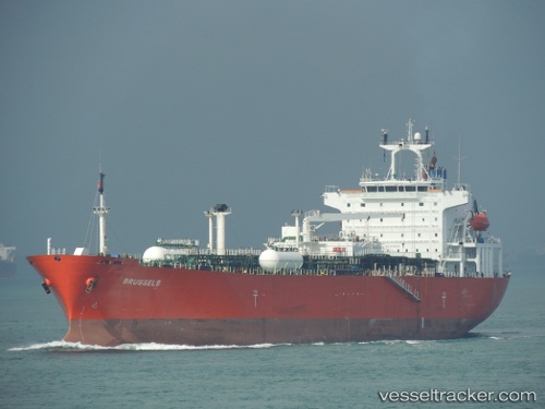
Vessel AKOYA GAS IMO: 9142150, MMSI: 677067900 Lpg Tanker
UTC, 13.57333, 42.65667, course: -1, speed: 9
UTC, 13.84666, 42.56667, course: -1, speed: 9
2026-03-03 05:26:06 UTC, 14.11333, 42.56500, course: -1, speed: 10
Live AIS position:
UTC. 45 nm SW of Al Hudaydah),
updated 2026-03-03 05:26:06 UTC.
Find the position of the vessel AKOYA GAS on the map. The latter are known coordinates and path.
marine traffic ship tracker show on live map
The current position of vessel AKOYA GAS is 14.11333 lat / 42.56500 lng. Updated: 2026-03-03 05:26:06 UTCCurrently sailing under the flag of Tanzania
Details:
Last coordinates of the vessel:
UTC, 13.30833, 42.97167, course: -1, speed: 10UTC, 13.57333, 42.65667, course: -1, speed: 9
UTC, 13.84666, 42.56667, course: -1, speed: 9
2026-03-03 05:26:06 UTC, 14.11333, 42.56500, course: -1, speed: 10