 vesseltracker.com
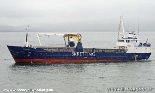
Vessel Magan D IMO: 6819623, MMSI: 232006490 Fishing Vessel
UTC, 42.55955, -8.98760, course: 1, speed: 0.1
UTC, 42.55958, -8.98758, course: 359, speed: 0.1
2026-02-21 11:24:07 UTC, 42.55957, -8.98758, course: 359, speed: 0
Live AIS position:
UTC. Near SANTA UXIA RIBEIRA),
updated 2026-02-21 11:24:07 UTC.
Find the position of the vessel Magan D on the map. The latter are known coordinates and path.
marine traffic ship tracker show on live map
The current position of vessel Magan D is 42.55957 lat / -8.98758 lng. Updated: 2026-02-21 11:24:07 UTCDetails:
Last coordinates of the vessel:
UTC, 42.55956, -8.98760, course: 0, speed: 0UTC, 42.55955, -8.98760, course: 1, speed: 0.1
UTC, 42.55958, -8.98758, course: 359, speed: 0.1
2026-02-21 11:24:07 UTC, 42.55957, -8.98758, course: 359, speed: 0