 vesseltracker.com
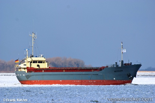
Vessel KOOLE K IMO: 7002605, MMSI: 377901292 General Cargo
UTC, 18.42606, -64.60943, course: 143, speed: 0.1
UTC, 18.42607, -64.60943, course: 142, speed: 0
2026-02-26 07:56:28 UTC, 18.42605, -64.60943, course: 143, speed: 0.1
Live AIS position:
UTC. Near PORT PURCELL),
updated 2026-02-26 07:56:28 UTC.
Find the position of the vessel KOOLE K on the map. The latter are known coordinates and path.
marine traffic ship tracker show on live map
The current position of vessel KOOLE K is 18.42605 lat / -64.60943 lng. Updated: 2026-02-26 07:56:28 UTCCurrently sailing under the flag of Saint Vincent and the Grenadines
Details:
Last coordinates of the vessel:
UTC, 18.42609, -64.60944, course: 143, speed: 0UTC, 18.42606, -64.60943, course: 143, speed: 0.1
UTC, 18.42607, -64.60943, course: 142, speed: 0
2026-02-26 07:56:28 UTC, 18.42605, -64.60943, course: 143, speed: 0.1