 vesseltracker.com
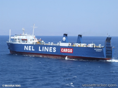
Vessel Talos IMO: 7043843, MMSI: 239786000 Ro Ro Cargo Ship
UTC, 37.14755, 25.38045, course: -1, speed: 15.2
UTC, 37.35592, 25.65817, course: -1, speed: 15
2026-01-31 11:23:43 UTC, 37.64334, 26.04150, course: -1, speed: 15.8
Live AIS position:
UTC. Near Eydilos),
updated 2026-01-31 11:23:43 UTC.
Find the position of the vessel Talos on the map. The latter are known coordinates and path.
marine traffic ship tracker show on live map
The current position of vessel Talos is 37.64334 lat / 26.04150 lng. Updated: 2026-01-31 11:23:43 UTCCurrently sailing under the flag of Greece
Talos built in 1971 year
Deadweight:
2838 tDetails:
Last coordinates of the vessel:
UTC, 37.08819, 25.14927, course: -1, speed: 0UTC, 37.14755, 25.38045, course: -1, speed: 15.2
UTC, 37.35592, 25.65817, course: -1, speed: 15
2026-01-31 11:23:43 UTC, 37.64334, 26.04150, course: -1, speed: 15.8