 vesseltracker.com
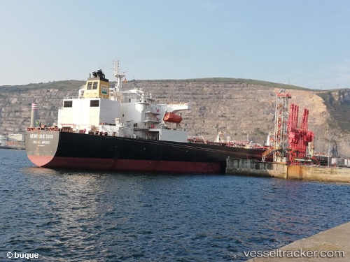
Vessel HENRIQUE DIAS IMO: 9453834, MMSI: 710020930 Tanker
UTC, -35.92939, -54.10403, course: 31, speed: 12
UTC, -35.53454, -53.74322, course: 40, speed: 12.8
2026-02-27 15:27:51 UTC, -35.23248, -53.45298, course: 37, speed: 12.4
Live AIS position:
UTC. 49 nm SE of LA PALOMA),
updated 2026-02-27 15:27:51 UTC.
Find the position of the vessel HENRIQUE DIAS on the map. The latter are known coordinates and path.
marine traffic ship tracker show on live map
The current position of vessel HENRIQUE DIAS is -35.23248 lat / -53.45298 lng. Updated: 2026-02-27 15:27:51 UTCDetails:
Last coordinates of the vessel:
UTC, -36.25558, -54.42879, course: -1, speed: 13UTC, -35.92939, -54.10403, course: 31, speed: 12
UTC, -35.53454, -53.74322, course: 40, speed: 12.8
2026-02-27 15:27:51 UTC, -35.23248, -53.45298, course: 37, speed: 12.4