 vesseltracker.com
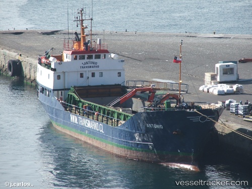
Vessel Antonio IMO: 7211218, MMSI: 725011100 General Cargo Ship
UTC, -33.75922, -80.75349, course: 190, speed: 0
UTC, -33.75937, -80.75380, course: 140, speed: 0.1
2026-02-14 19:54:42 UTC, -33.75934, -80.75354, course: 165, speed: 0.2
Live AIS position:
UTC. 49 nm W of Juan Fernández),
updated 2026-02-14 19:54:42 UTC.
Find the position of the vessel Antonio on the map. The latter are known coordinates and path.
marine traffic ship tracker show on live map
The current position of vessel Antonio is -33.75934 lat / -80.75354 lng. Updated: 2026-02-14 19:54:42 UTCDetails:
Last coordinates of the vessel:
UTC, -33.75934, -80.75376, course: 138, speed: 0.2UTC, -33.75922, -80.75349, course: 190, speed: 0
UTC, -33.75937, -80.75380, course: 140, speed: 0.1
2026-02-14 19:54:42 UTC, -33.75934, -80.75354, course: 165, speed: 0.2