 vesseltracker.com
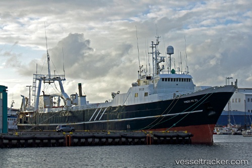
Vessel Blaengur IMO: 7233096, MMSI: 251063000 Fishing Vessel
UTC, 65.99739, -12.89773, course: 273, speed: 5.4
UTC, 65.99070, -13.01101, course: 254, speed: 4.3
2026-02-05 09:26:48 UTC, 65.97440, -13.41024, course: 234, speed: 4.2
Live AIS position:
UTC. 34 nm E of Bakkafjördur),
updated 2026-02-05 09:26:48 UTC.
Find the position of the vessel Blaengur on the map. The latter are known coordinates and path.
marine traffic ship tracker show on live map
The current position of vessel Blaengur is 65.97440 lat / -13.41024 lng. Updated: 2026-02-05 09:26:48 UTCDetails:
Last coordinates of the vessel:
UTC, 65.51427, -12.05581, course: 330, speed: 12.9UTC, 65.99739, -12.89773, course: 273, speed: 5.4
UTC, 65.99070, -13.01101, course: 254, speed: 4.3
2026-02-05 09:26:48 UTC, 65.97440, -13.41024, course: 234, speed: 4.2