 vesseltracker.com
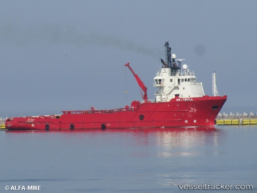
Vessel LENGA IMO: 9203203, MMSI: 725003591 Offshore Tug/Supply Ship
UTC, -52.95762, -70.81909, course: 222, speed: 0
UTC, -52.95640, -70.79856, course: 65, speed: 0.2
2026-01-29 18:33:37 UTC, -52.95833, -70.79667, course: -1, speed: 0
Live AIS position:
UTC. Near Bahia Laredo),
updated 2026-01-29 18:33:37 UTC.
Find the position of the vessel LENGA on the map. The latter are known coordinates and path.
marine traffic ship tracker show on live map
The current position of vessel LENGA is -52.95833 lat / -70.79667 lng. Updated: 2026-01-29 18:33:37 UTCCurrently sailing under the flag of Chile
LENGA built in 2000 year
Deadweight:
2881 tDetails:
Last coordinates of the vessel:
UTC, -53.08500, -70.80333, course: -1, speed: 11UTC, -52.95762, -70.81909, course: 222, speed: 0
UTC, -52.95640, -70.79856, course: 65, speed: 0.2
2026-01-29 18:33:37 UTC, -52.95833, -70.79667, course: -1, speed: 0