 vesseltracker.com
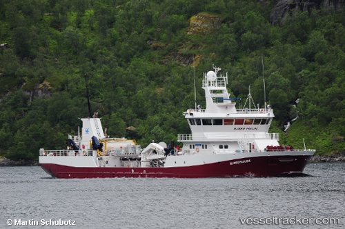
Vessel GRIP NORD IMO: 9544671, MMSI: 725005208 Cargo
UTC, -45.28667, -73.18500, course: -1, speed: 12
UTC, -45.20433, -73.59862, course: 321, speed: 10.3
2026-03-01 18:06:17 UTC, -44.91416, -73.55406, course: 19, speed: 9.8
Live AIS position:
UTC. 38 nm W of Puerto Cisnes),
updated 2026-03-01 18:06:17 UTC.
Find the position of the vessel GRIP NORD on the map. The latter are known coordinates and path.
marine traffic ship tracker show on live map
The current position of vessel GRIP NORD is -44.91416 lat / -73.55406 lng. Updated: 2026-03-01 18:06:17 UTCDetails:
Last coordinates of the vessel:
UTC, -45.47265, -72.82067, course: 60, speed: 0UTC, -45.28667, -73.18500, course: -1, speed: 12
UTC, -45.20433, -73.59862, course: 321, speed: 10.3
2026-03-01 18:06:17 UTC, -44.91416, -73.55406, course: 19, speed: 9.8