 vesseltracker.com
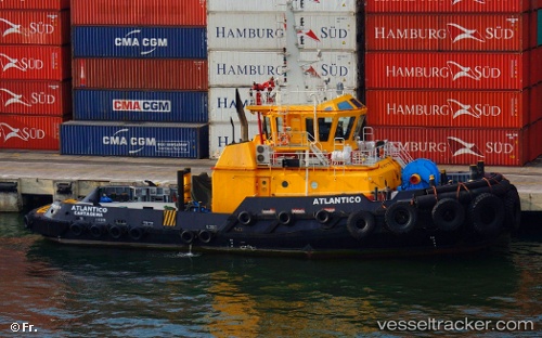
Vessel Atlantico IMO: 9517757, MMSI: 730151463 Tug
UTC, 11.15167, -74.25500, course: -1, speed: 0
UTC, 11.15167, -74.25333, course: -1, speed: 0
2026-02-26 05:25:07 UTC, 11.15167, -74.25500, course: -1, speed: 0
Live AIS position:
UTC. Near Santa Marta),
updated 2026-02-26 05:25:07 UTC.
Find the position of the vessel Atlantico on the map. The latter are known coordinates and path.
marine traffic ship tracker show on live map
The current position of vessel Atlantico is 11.15167 lat / -74.25500 lng. Updated: 2026-02-26 05:25:07 UTCDetails:
Last coordinates of the vessel:
UTC, 11.15333, -74.25500, course: -1, speed: 0UTC, 11.15167, -74.25500, course: -1, speed: 0
UTC, 11.15167, -74.25333, course: -1, speed: 0
2026-02-26 05:25:07 UTC, 11.15167, -74.25500, course: -1, speed: 0