 vesseltracker.com
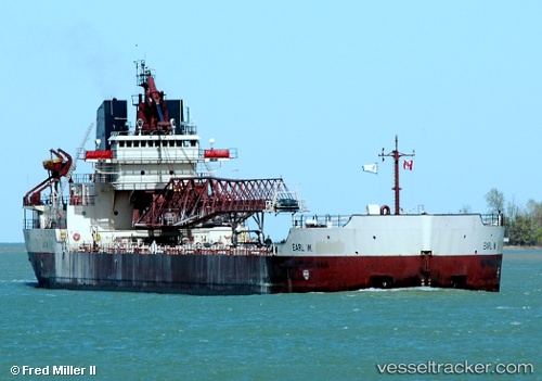
Vessel Manitowoc IMO: 7366398, MMSI: 367341010 Self Discharging Bulk Carrier
UTC, 41.90852, -80.78766, course: 181, speed: 0
UTC, 41.90854, -80.78767, course: 181, speed: 0
2026-02-14 09:50:10 UTC, 41.90833, -80.78667, course: -1, speed: 0
Live AIS position:
UTC. Near ASHTABULA),
updated 2026-02-14 09:50:10 UTC.
Find the position of the vessel Manitowoc on the map. The latter are known coordinates and path.
marine traffic ship tracker show on live map
The current position of vessel Manitowoc is 41.90833 lat / -80.78667 lng. Updated: 2026-02-14 09:50:10 UTCDetails:
Last coordinates of the vessel:
UTC, 41.90855, -80.78766, course: 182, speed: 0UTC, 41.90852, -80.78766, course: 181, speed: 0
UTC, 41.90854, -80.78767, course: 181, speed: 0
2026-02-14 09:50:10 UTC, 41.90833, -80.78667, course: -1, speed: 0