 vesseltracker.com
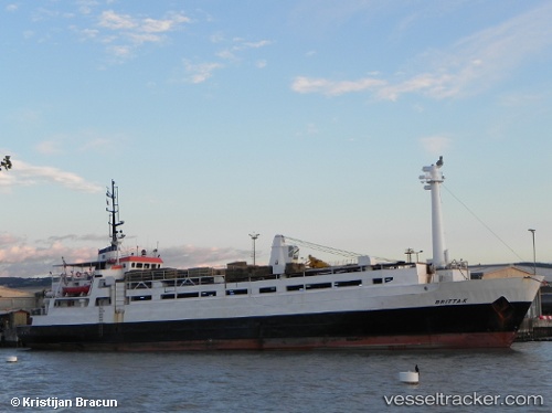
Vessel BRITTA K IMO: 7368815, MMSI: 620800074 Livestock Carrier
UTC, 38.38197, 25.80865, course: -1, speed: 10.4
UTC, 38.64667, 25.80833, course: -1, speed: 10
2026-02-26 07:19:20 UTC, 38.85411, 25.81308, course: -1, speed: 10.6
Live AIS position:
UTC. 22 nm S of Sigri Lesvou),
updated 2026-02-26 07:19:20 UTC.
Find the position of the vessel BRITTA K on the map. The latter are known coordinates and path.
marine traffic ship tracker show on live map
The current position of vessel BRITTA K is 38.85411 lat / 25.81308 lng. Updated: 2026-02-26 07:19:20 UTCCurrently sailing under the flag of Comoros
Details:
Last coordinates of the vessel:
UTC, 37.89702, 25.62453, course: -1, speed: 10.6UTC, 38.38197, 25.80865, course: -1, speed: 10.4
UTC, 38.64667, 25.80833, course: -1, speed: 10
2026-02-26 07:19:20 UTC, 38.85411, 25.81308, course: -1, speed: 10.6