 vesseltracker.com
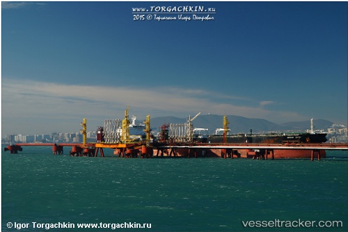
Vessel NICHOLA IMO: 9224271, MMSI: 750307000 Crude Oil Tanker
UTC, 5.53667, 77.10167, course: -1, speed: 11
UTC, 5.44333, 77.31667, course: -1, speed: 11
2026-02-25 19:31:14 UTC, 5.31895, 77.61066, course: 113, speed: 11
Live AIS position:
UTC. 156 nm SW of Bentota River Apt),
updated 2026-02-25 19:31:14 UTC.
Find the position of the vessel NICHOLA on the map. The latter are known coordinates and path.
marine traffic ship tracker show on live map
The current position of vessel NICHOLA is 5.31895 lat / 77.61066 lng. Updated: 2026-02-25 19:31:14 UTCDetails:
Last coordinates of the vessel:
UTC, 5.73500, 76.63667, course: -1, speed: 11UTC, 5.53667, 77.10167, course: -1, speed: 11
UTC, 5.44333, 77.31667, course: -1, speed: 11
2026-02-25 19:31:14 UTC, 5.31895, 77.61066, course: 113, speed: 11